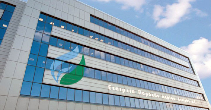
The Attiki Gas Supply SA asked us to include the gas network and access points in their Garmin’s PNDs that already contain the GEODATA map, so that the crews can easily locate them and reach them. Additionally, an application was developed that enables:
- searching for the specified points and routing,
- notification (voice and optical) for those points during routing,
- storage of new points (eg faults).

