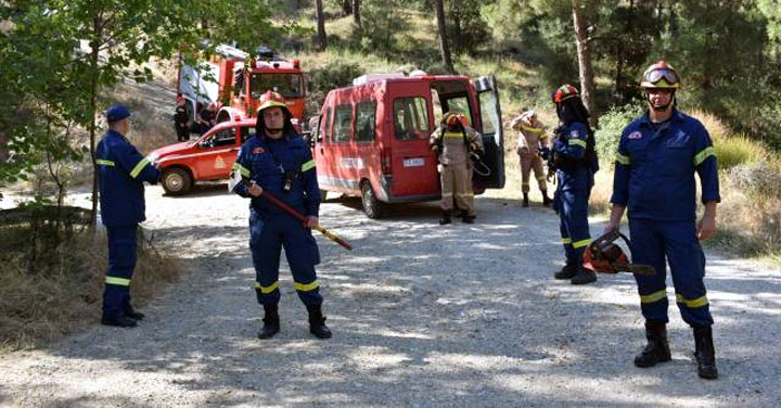
GEODATA provides the Fire Department with the maps used in the ENGAGE application, used by the Operations Center. The application provides real-time data, such as the starting point of the fire, the display of the vehicles in the area of the fire, but also their condition. The app allows ground forces to send images and videos from fire fronts. It also provides routing code.
